Illustrated Bible History
Ancient Near East Maps - Ancient Greece

|
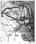
Athens and the Pirraeus |
|---|---|
| Athens and the Pirraeus with the Long Walls and the harbors of Athens. | |
|
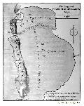
Bay of Thapsos |
| Map illustrating the Athenian and Carthaginian sieges. | |

|
Salamis and the Attic Coast |
| Map of Salamis and the Attic Coast. | |

|
Neighborhood of Artemisium and Thermopylae |
| Map of Artemisium and Thermopylae. | |
|
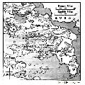
SIeges of Pylos and Sphacteria |
| Illustration of the sieges of Pylos and Sphacteria. | |
|
Part of Central Greece |
| Map including Attica Boeotia, Megaris and part of Corinthia and Argolis. | |

|
Hellas or Greece |
| Hellas or Greece and the colonies. | |
|
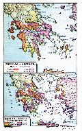
Hellas or Greece in the Heroic Age |
| Hellas or Greece in the Heroic Age. | |

|
Greece in the Time of Persian Wars |
| Greece in the time of Persian war. | |

|
Plain of Marathon |
| Map of the plains of Marathon. | |

|
Vicinity of the Thermopylae |
| Vicinity of the Thermopylae. | |

|
Vicinity of Athen |
| Vicinity of Athens. | |

|
Peloponnesian War |
| Region of operations in the Peloponnesian war. | |

|
Empire of Alexander the Great |
| Empire of ALexander the Great. | |
|
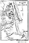
Ruins of Salamis |
| Map showing the ruins of Salamis, a city at the east end of the island of Cyprus. |
